A powerful El Niño, an uncertain European winter
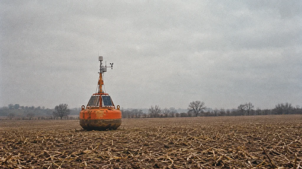
A warmer Pacific shifts Europe’s winter odds from far away.
Image composition · tobriefThe equatorial Pacific is warming toward one of the strongest El Niño events since at least 1950, according to the World Meteorological Organization (WMO). For Europe, that strength shifts seasonal odds without deciding whether any given country gets a wet, mild or cold winter. The reasons start with what the headline numbers actually measure.
Two rulers for one warm ocean
Forecasters watch a long band of ocean along the equator in the central Pacific, called Niño 3.4 (Climate Reanalyzer). They average the surface temperature across it and compare it with the long-term norm, and that gap is the "anomaly." WMO expects it to average about 3.7°C above normal from October to December, against 2.6°C at the November–January peak of 2015–16 (WMO).
NOAA, the US climate agency, reads the same water differently. Its Relative Oceanic Niño Index takes the three-month Niño 3.4 anomaly, subtracts the average anomaly across all tropical oceans, then applies a further statistical adjustment (NOAA). Think of a runner in a race where a tailwind helps everyone. You subtract the boost the whole field got, so only the runner's own lead counts.
On that stricter scale, NOAA puts the chance of reaching +2.5°C, its threshold for a historic-strength event, at 83% for October–December, above the +2.3°C to +2.4°C peaks of 1982–83, 1997 and 2015 (NOAA strength probabilities). The WMO and NOAA figures sit on different rulers, so they shouldn't be read as rival temperatures.
Some coverage went further. Weatherzone reported that the region topped 30°C on 5 October for the first time in a daily dataset that begins in 1981 (Weatherzone, Climate Reanalyzer). That reading came from preliminary data, and neither the value nor its ranking could be independently reproduced. NOAA's weekly table shows 29.9°C for the week centred on 30 September, against 29.8°C for a week near the 2015 peak (NOAA weekly data). Those figures confirm unusual warmth, but a different week and averaging period cannot confirm the daily record.
How one patch of ocean moves the world's rain
Normally, easterly trade winds push warm surface water toward Indonesia and Australia, while colder water rises farther east. Blow steadily across a bath and the water piles up at the far end; stop, and it sloshes back. When the trade winds slacken, warm water spreads east, the rain clouds follow it, and the shifted air circulation weakens the winds further, a loop that keeps feeding itself (NOAA explainer).
NOAA's 8 October assessment finds that coordinated pattern in winds, rainfall and ocean. It also reports water more than 10°C warmer than usual at some depths in the eastern Pacific (NOAA diagnostic).
Moving the tropics' main rain belt changes where air rises and sinks, and that tilts seasonal odds thousands of kilometres away. WMO's outlook favours wetter conditions in parts of the Greater Horn of Africa and drier ones over parts of the Indian subcontinent (WMO outlook). Those are shifted probabilities over large regions, which is as precise as the Pacific signal gets.
Europe sits at the end of a long chain
A review by the European Centre for Medium-Range Weather Forecasts and Copernicus, updated on 5 October, finds that Europe's average response to El Niño differs between November–December and January–February (ECMWF/Copernicus). Individual winters with a strong Pacific signal still varied widely. Atlantic pressure patterns, polar conditions and the stratosphere, the atmosphere's upper layer, all compete with the Pacific's influence.
The UK Met Office laid out both sides in its own 5 October review (Met Office). El Niño can make wetter, stormier and milder British weather more likely in late autumn and early winter. After the Pacific peaks, a weaker polar vortex, the ring of winds circling high above the Arctic, could raise the chance of cold spells later in the season. Neither signal, the forecaster stresses, predicts any particular snowfall.
The firmest number in all of this is WMO's near-100% likelihood that the Pacific event lasts through February, and it describes the ocean rather than European weather (WMO). A very warm Pacific can shift Europe's seasonal odds, but it cannot forecast a country's winter; the national outlooks updated through the autumn are where those odds will be refined.
Details about this article
- Model:
- claude-opus-5-5
- Generated:
- 10/9/2026, 1:29:19 AM
- Pipeline run:
- eu_pipeline_20261009_005006
- Watermark:
- SynthID (Google's invisible watermark)
- Human review:
- None before publication